Temperate Central European climate shaped by inland position, relief, altitude, basins, mountain rims, river systems, seasonal circulation and long-term environmental change.
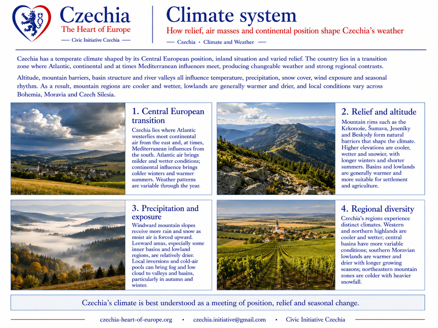
Czechia has a temperate Central European climate shaped by its inland position, altitude differences, mountain barriers, basins, river corridors and the transition between oceanic and continental influences.
The country has four distinct seasons, but climate conditions vary strongly by region. Mountain areas are generally colder, wetter and snowier. Lowlands and basins are generally warmer and drier. Southern Moravia belongs among the warmest and driest parts of the country, while the Krkonoše, Šumava, Jeseníky, Beskydy and other mountain ranges receive more precipitation and longer winter conditions.
Climate is one of the Atlas layers that explains agriculture, forestry, water management, settlement, tourism, transport, public safety, protected landscapes and long-term adaptation.
Climate typeTemperate Central European climate with oceanic and continental influences.
Main controlsAltitude, relief, mountain barriers, basins, prevailing winds and seasonal circulation.
Regional contrastColder mountains, warmer lowlands, wetter uplands and drier southern Moravia.
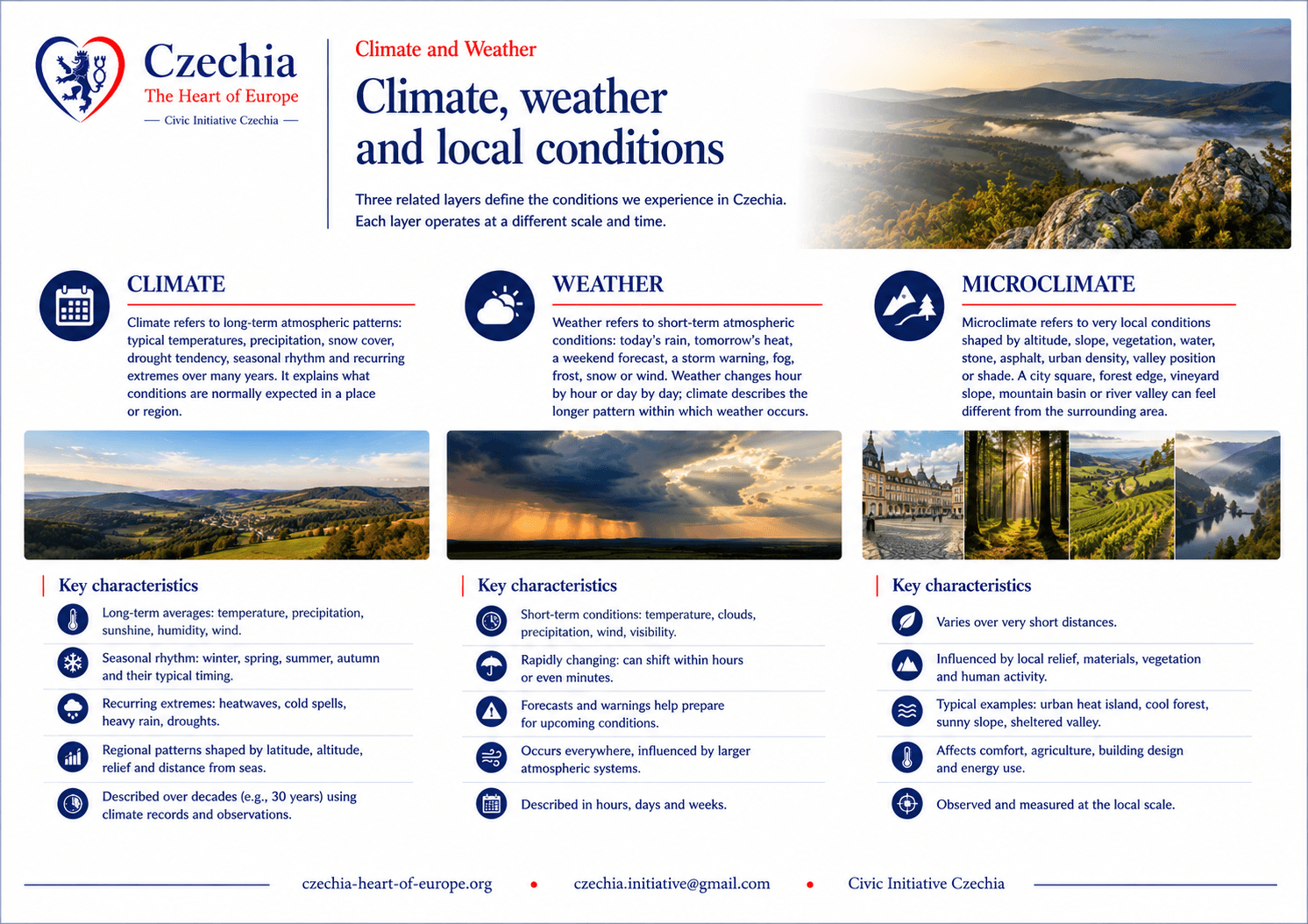
Climate refers to long-term atmospheric patterns: typical temperatures, precipitation, snow cover, drought tendency, seasonal rhythm and recurring extremes over many years. It explains what conditions are normally expected in a place or region.
Weather refers to short-term atmospheric conditions: today’s rain, tomorrow’s heat, a weekend forecast, a storm warning, fog, frost, snow or wind. Weather changes hour by hour or day by day; climate describes the longer pattern within which weather occurs.
Microclimate refers to very local conditions shaped by altitude, slope, vegetation, water, stone, asphalt, urban density, valley position or shade. A city square, forest edge, vineyard slope, mountain basin or river valley can feel different from the surrounding area.
Climate belongs beside Geography, Landscapes and Watersheds because it explains how atmospheric conditions interact with relief, water, vegetation, agriculture, settlement and seasonal life. Geography explains the physical structure. Climate explains how temperature, precipitation, snow, drought, heat and storms behave within that structure.
GeographyExplains the physical frame: Central European position, relief, basins, mountain rims and river systems.
LandscapesShows how forests, mountains, lowlands, vineyards and protected areas experience climate differently.
WatershedsConnects precipitation, snowmelt, drought, floods and river flow across basins.
RegionsShows how climate affects agriculture, tourism, transport, planning and everyday life across the country.
Seasonal rhythm
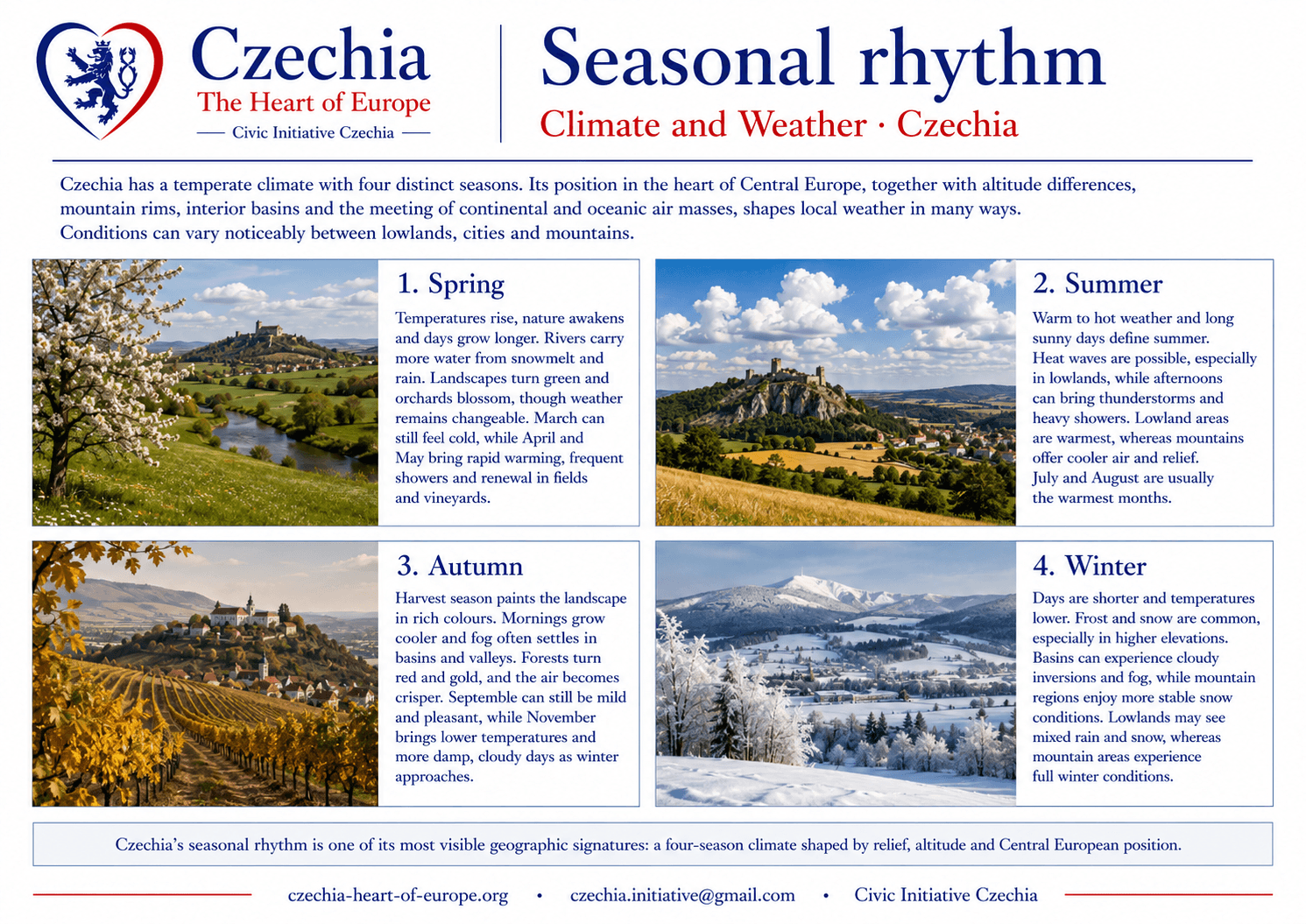
Czechia’s climate is experienced through a clear seasonal rhythm. Spring brings variable temperatures, flowering landscapes and renewed agricultural activity. Summer can be warm or hot, with thunderstorms, dry spells and strong contrasts between lowlands and mountains. Autumn brings cooling, harvest, forest colour and frequent fog in basins. Winter varies from mild lowland conditions to snow-covered mountain areas.
SpringVariable temperatures, rainfall, vegetation growth, renewed river flow and agricultural preparation.
SummerWarm to hot conditions, thunderstorms, tourism, drought risk and heat stress in urban and lowland areas.
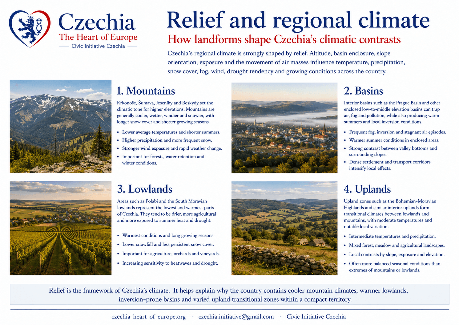
Relief is one of the main reasons climate differs across Czechia. Mountains intercept moist air, increase precipitation and sustain colder conditions. Basins can trap fog, cold air and pollution during inversion episodes. Lowlands tend to be warmer and more suitable for agriculture, while uplands and mountains retain stronger forest, pasture and recreation functions.
The same weather system can therefore produce different local effects: rain in lowlands, snow in mountains, fog in basins, drought in southern lowlands and rapid runoff in steep valleys.
MountainsColder conditions, more precipitation, longer snow cover and higher ecological sensitivity.
BasinsFog, temperature inversions and local air-quality issues can occur under stable conditions.
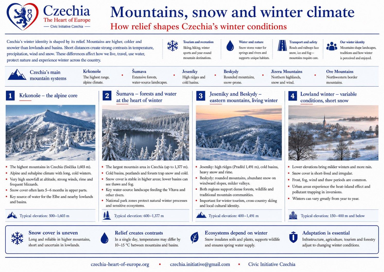
Mountain areas define much of Czechia’s winter climate identity. The Krkonoše, Šumava, Jeseníky, Beskydy, Jizera Mountains and Ore Mountains receive colder temperatures and more frequent snow than lowland regions. They support winter tourism, forests, water retention and seasonal recreation.
Snow cover is geographically uneven. Higher mountain areas may experience long snow seasons, while lowlands often have shorter or irregular snow cover. This difference matters for tourism, transport, water supply, ecosystems and public perception of winter.
KrkonošeHighest mountain climate in Czechia, with alpine and subalpine environmental conditions.
ŠumavaLarge forested mountain region with cold basins, snow, peatlands and water-source landscapes.
Jeseníky and BeskydyEastern mountain climates important for forests, tourism and regional identity.
Lowland winterMore variable, often shifting between frost, rain, fog, wind and mild periods.
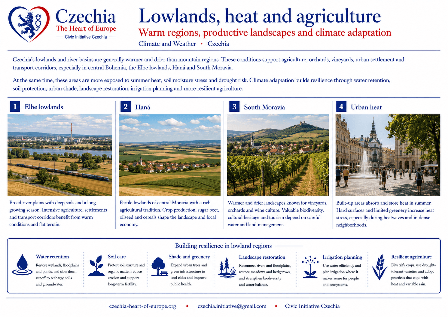
Lowlands and river basins are generally warmer and drier than mountain regions. This supports agriculture, orchards, vineyards, urban settlement and transport corridors, especially in central Bohemia, the Elbe lowlands, Haná and South Moravia.
These areas are also more exposed to summer heat, soil moisture stress and drought risk. Climate adaptation therefore includes water retention, soil protection, urban shade, landscape restoration, irrigation planning and more resilient agriculture.
Elbe lowlandsWarmer agricultural areas linked with settlement, transport and intensive land use.
HanáFertile central Moravian lowland with strong agricultural identity.
South MoraviaWarm and relatively dry conditions support vineyards, orchards and wine landscapes.
Urban heatCities and sealed surfaces intensify heat stress during summer periods.
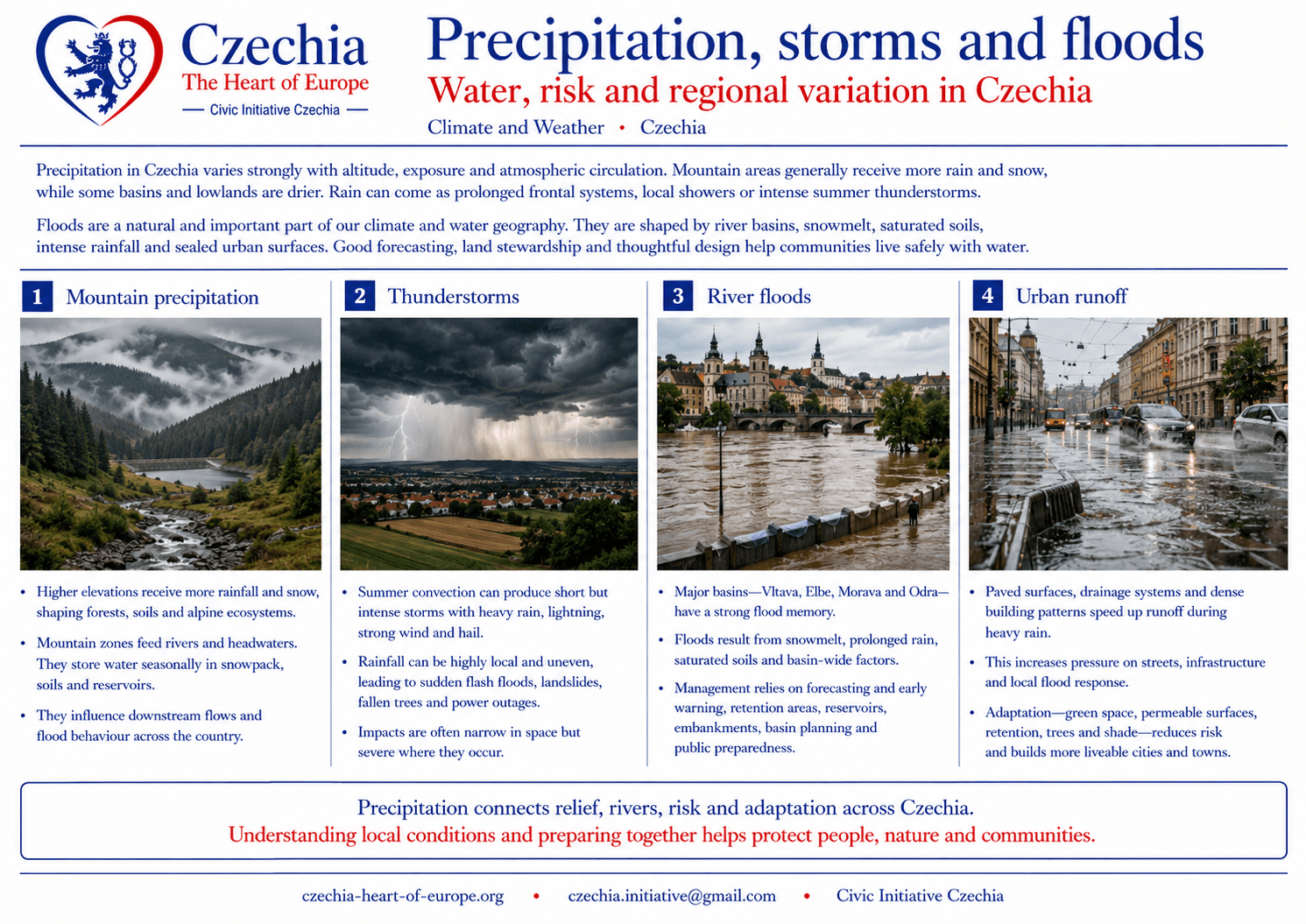
Precipitation varies by altitude, exposure and regional circulation. Mountain ranges tend to receive more rainfall and snow, while some basins and lowlands are drier. Rainfall may arrive as steady frontal precipitation, local showers or intense thunderstorms.
Floods are an important part of Czechia’s climate and water geography. River basins, snowmelt, saturated soils, intense rainfall and urban surfaces can all contribute to flood risk. Flood memory is especially important along the Vltava, Elbe, Morava, Odra and smaller river systems.
Mountain precipitationHigher rainfall and snow influence forests, rivers, water sources and flood behaviour.
ThunderstormsSummer storms can bring heavy rain, wind, hail and local flash flooding.
River floodsMajor basins require flood protection, forecasting, retention and public preparedness.
Urban runoffSealed surfaces increase runoff and make urban adaptation more important.
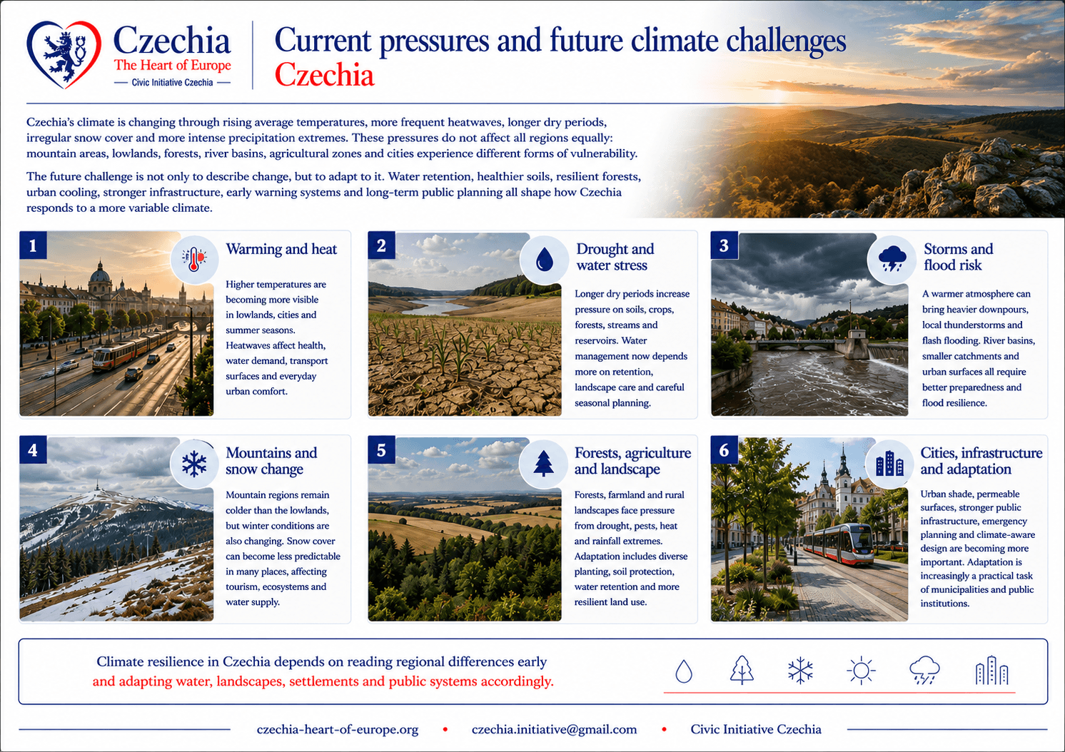
Czechia’s climate is changing within the wider European climate context. The most important pressures are practical and regional: hotter summers, more frequent heat stress, drought episodes, pressure on forests, heavier rainfall events, flood risk, variable snow cover and higher demands on water retention.
Future climate adaptation depends on how the country manages water, soil, forests, agriculture, towns, transport infrastructure and protected landscapes. The key challenge is not only temperature rise, but the interaction between heat, drought, rainfall intensity, river basins, land use and settlement.
HeatUrban heat, summer stress, public health risk and stronger demand for shade, water and cooling design.
DroughtSoil moisture, groundwater, river flow, agriculture and forest resilience become central planning issues.
Floods and stormsIntense rainfall, runoff, saturated soils and river-basin management require stronger prevention and warning systems.
Snow variabilityMountain tourism, winter ecosystems, water storage and seasonal expectations are affected by changing snow reliability.
ForestsHeat, drought, pests and species composition make forest adaptation a national landscape issue.
Urban adaptationPermeable surfaces, trees, shade, water retention and heat-aware planning become part of public infrastructure.
The future climate question for Czechia is practical: how to keep water in the landscape, protect forests and soils, reduce urban heat, manage flood risk and maintain liveable regions under more variable conditions.
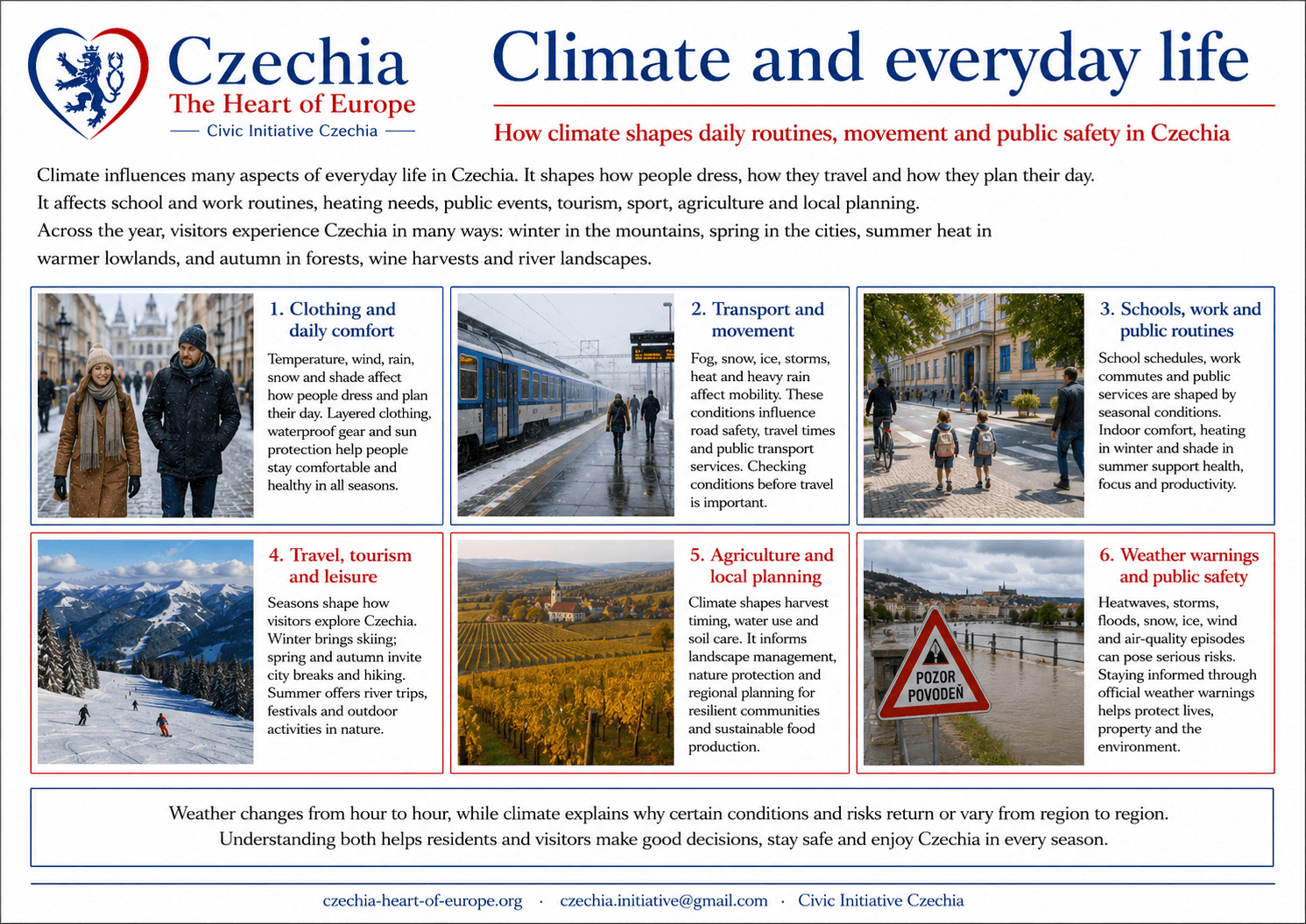
Climate shapes everyday life through clothing, transport, school routines, heating, public events, tourism, sport, agriculture and local planning. It also shapes how visitors experience the country: winter mountains, spring cities, summer heat in lowlands, autumn forests, wine harvests and river landscapes.
Public information is especially important during extreme weather: heat waves, storms, floods, snow, ice, wind and air-quality episodes. Weather warnings belong to daily public safety; climate explains why some risks recur, intensify or vary by region.
TransportSnow, ice, storms, fog, heat and floods can affect roads, railways, airports and public transport.
TourismSeasonal climate shapes mountain tourism, city travel, wine routes, spa visits and outdoor activities.
HealthHeat, cold, air quality, pollen and storms influence public health and daily planning.
Public alertsWeather warnings and official information matter during extreme conditions.